Manx News
Get the latest news from Manx.News


Tue, 29 Dec 2015
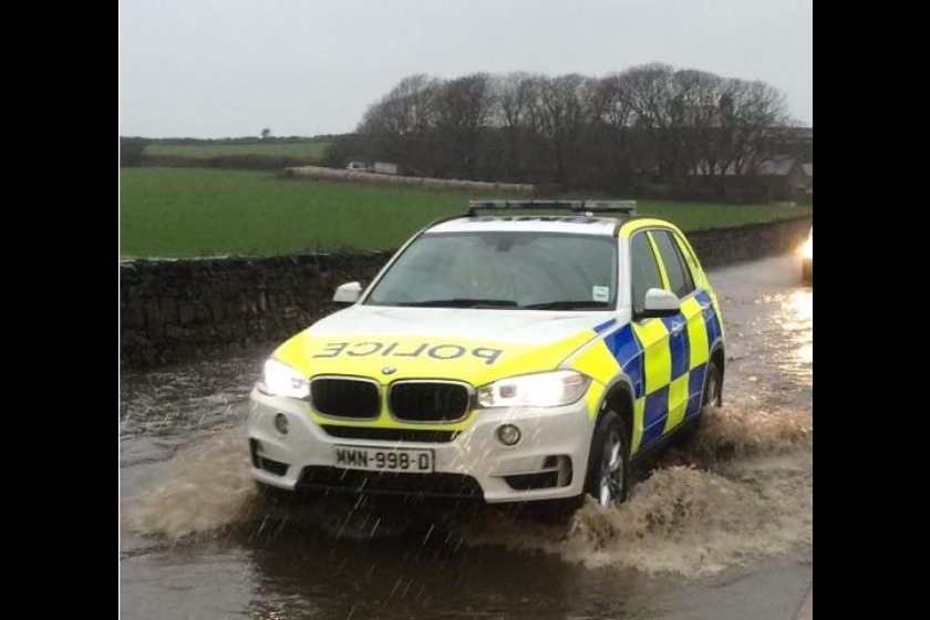
People are being urged to batten down the hatches as Storm Frank approaches the Isle of Man.
A red weather warning is in place meaning there's significant risk of disruption - heavy rain and gale force winds are due to hit this evening and overnight.
The north of the Island is expected to be worst hit by rain with up to 40 mm of water due to fall between midnight and 9am tomorrow - that could increase to 100mm on the hills.
There's also a warning of coastal overtopping, particularly near the time of high tide, with waves and debris expected to wash onto exposed promenades.
The Steam Packet has cancelled tonight's sailing to Heysham and the return journey tomorrow morning.
Sergeant Gavin Callow has this advice:
Gavin Callow
 Fri, 29 Dec 2023
 Fri, 29 Dec 2023
 Fri, 29 Dec 2023
 Fri, 29 Dec 2023
 Thu, 28 Dec 2023
 Thu, 28 Dec 2023
 Thu, 28 Dec 2023
 Wed, 27 Dec 2023


Home | On-Air | News | Sport | Infocentre | About | Contact | Privacy & Cookies | Sitemap
© Copyright Energy FM